Photo
Gallery Index (Click on numbered photo to
enlarge (scroll to see entire photo); then push the back button to
return to gallery index.)
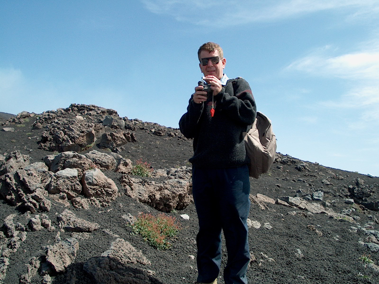
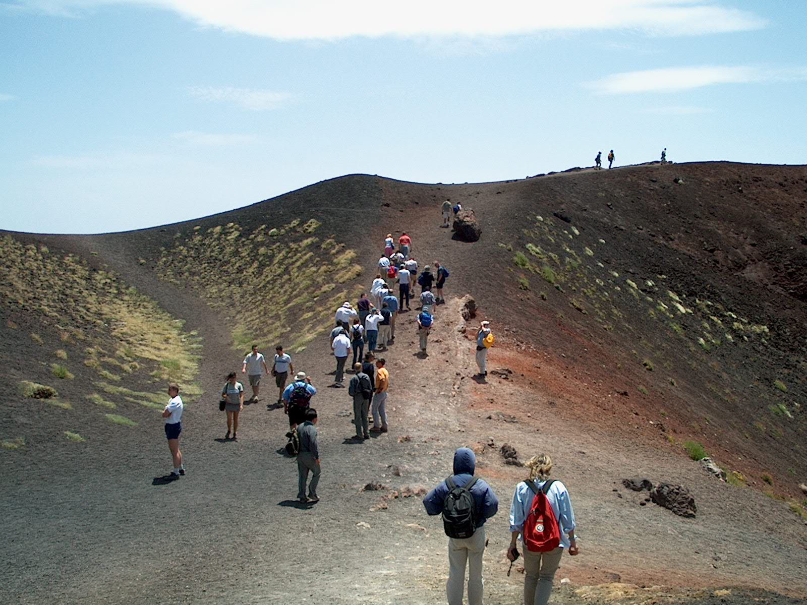
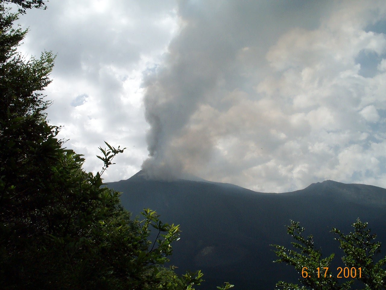
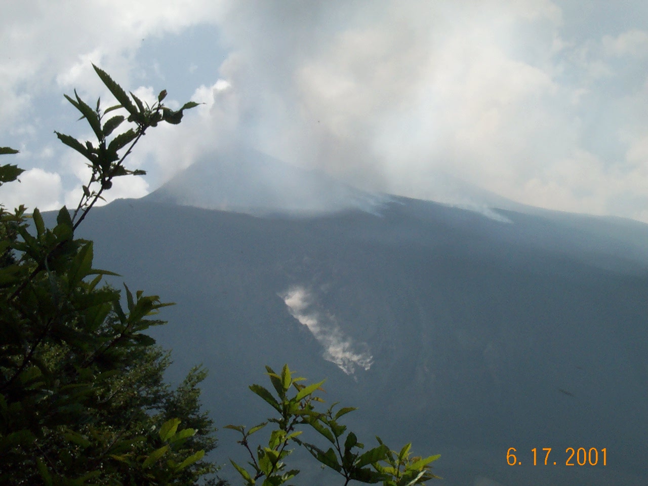
Mount Etna, Sicily, Italy (below).
June 2001 eruption was
predicted to the hour by geologists from the University of
Palermo. After taking the pre-eruption photos (photos 1 and 2),
the field trip
relocated to a safe position about 5 kilometers away to shoot the
eruption photos (3 and 4). Note the smoky trail in photo 4 below
the crater indicating lava stream. After
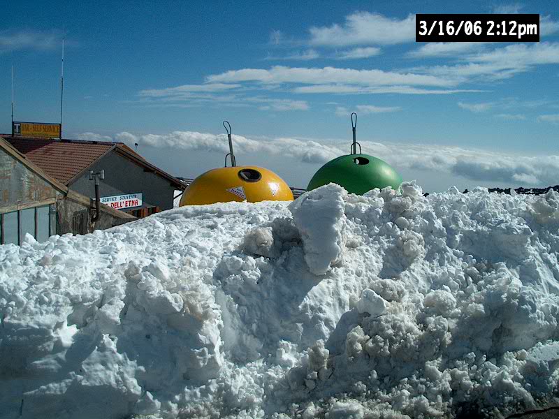
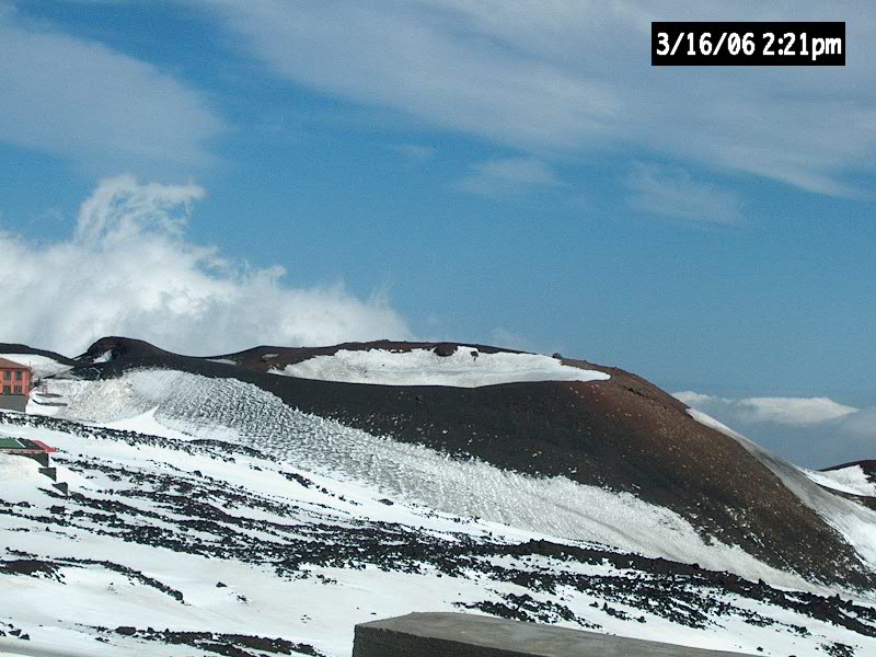
I returned to Etna five years later (March 2006), I observed that Etna
was quiet and snow covered (photos 5 and 6). Yellow and
green objects are recycle bins (photo 5).
Photos 2 (2001) and 6 (2006) are the same view of satellite cones.
1
2
3
4
5
6
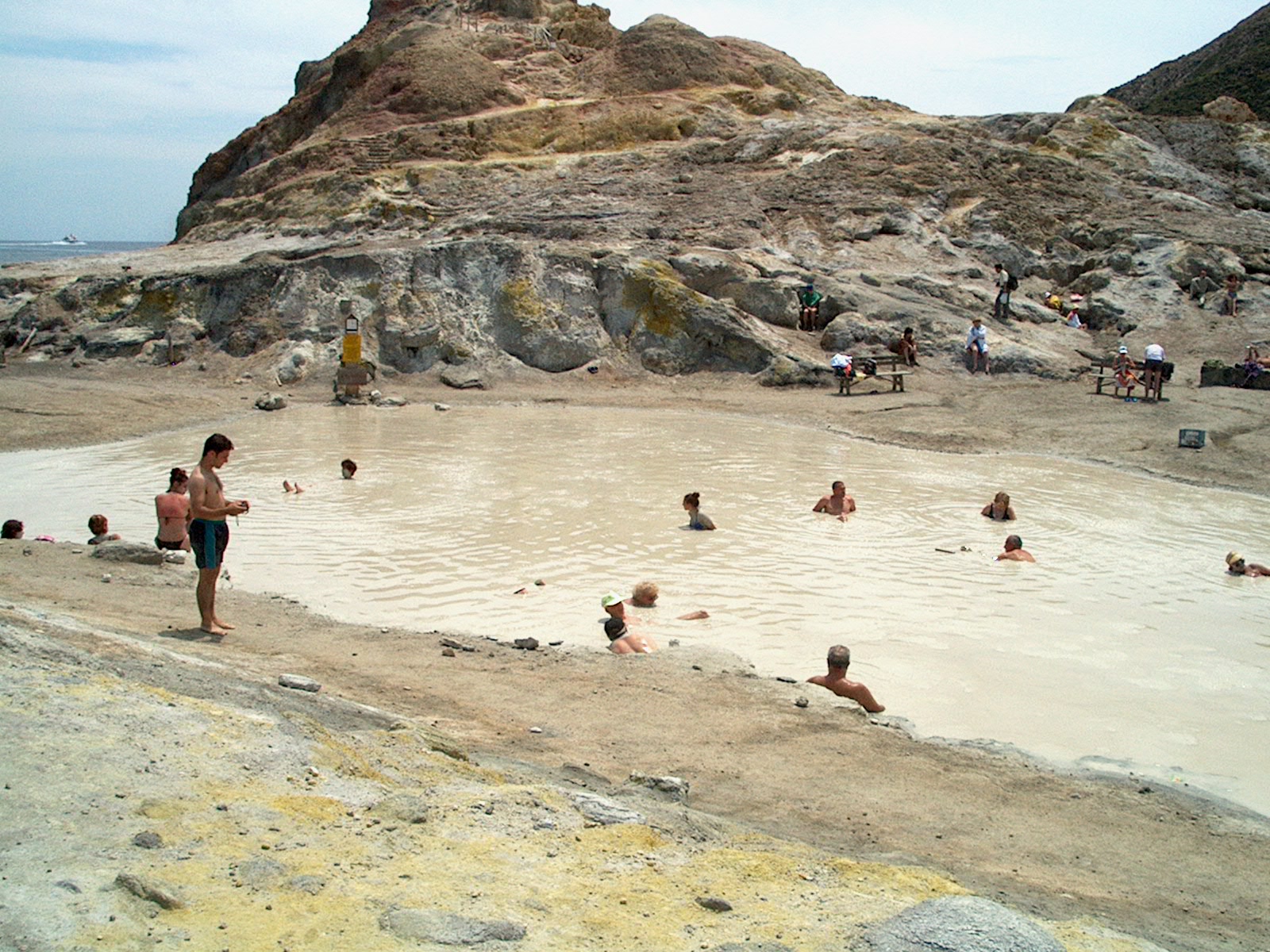
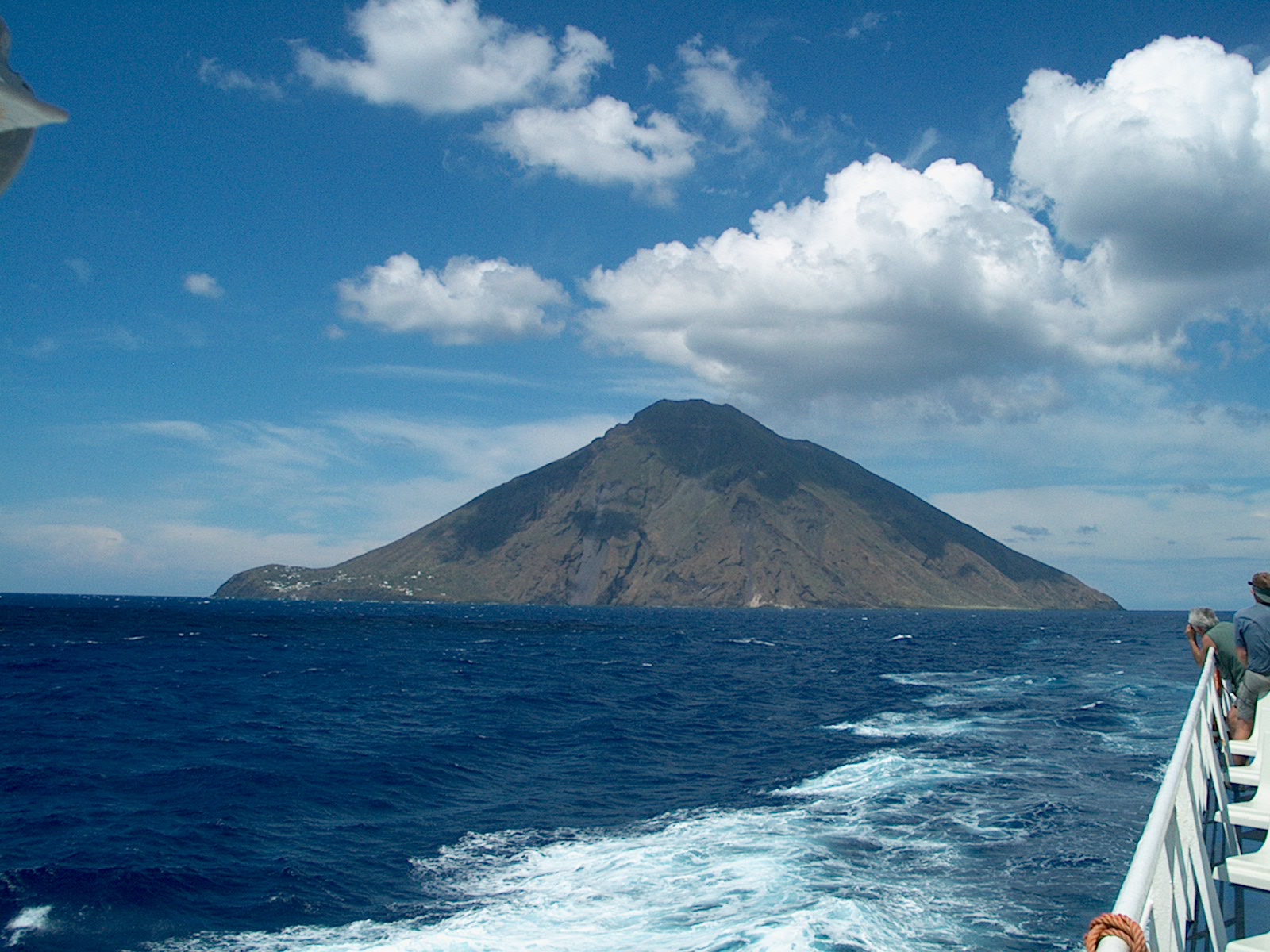 Aeolian
Islands, n. of Sicily, Italy (to left).
Aeolian
Islands, n. of Sicily, Italy (to left).
June 2001 visit to the
volcanic islands of Volcano (photo 7) and
Strom'boli (photo
8). Photo 7 shows mud baths. Photo 8 shows
Strombolian-style (explosive)
eruption, which takes place
every
~20 minutes.
Kent
Bog, Ohio
(to right)
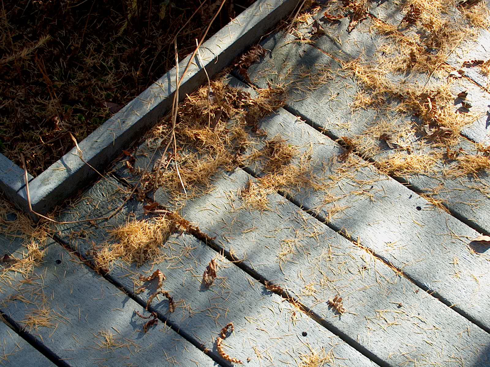
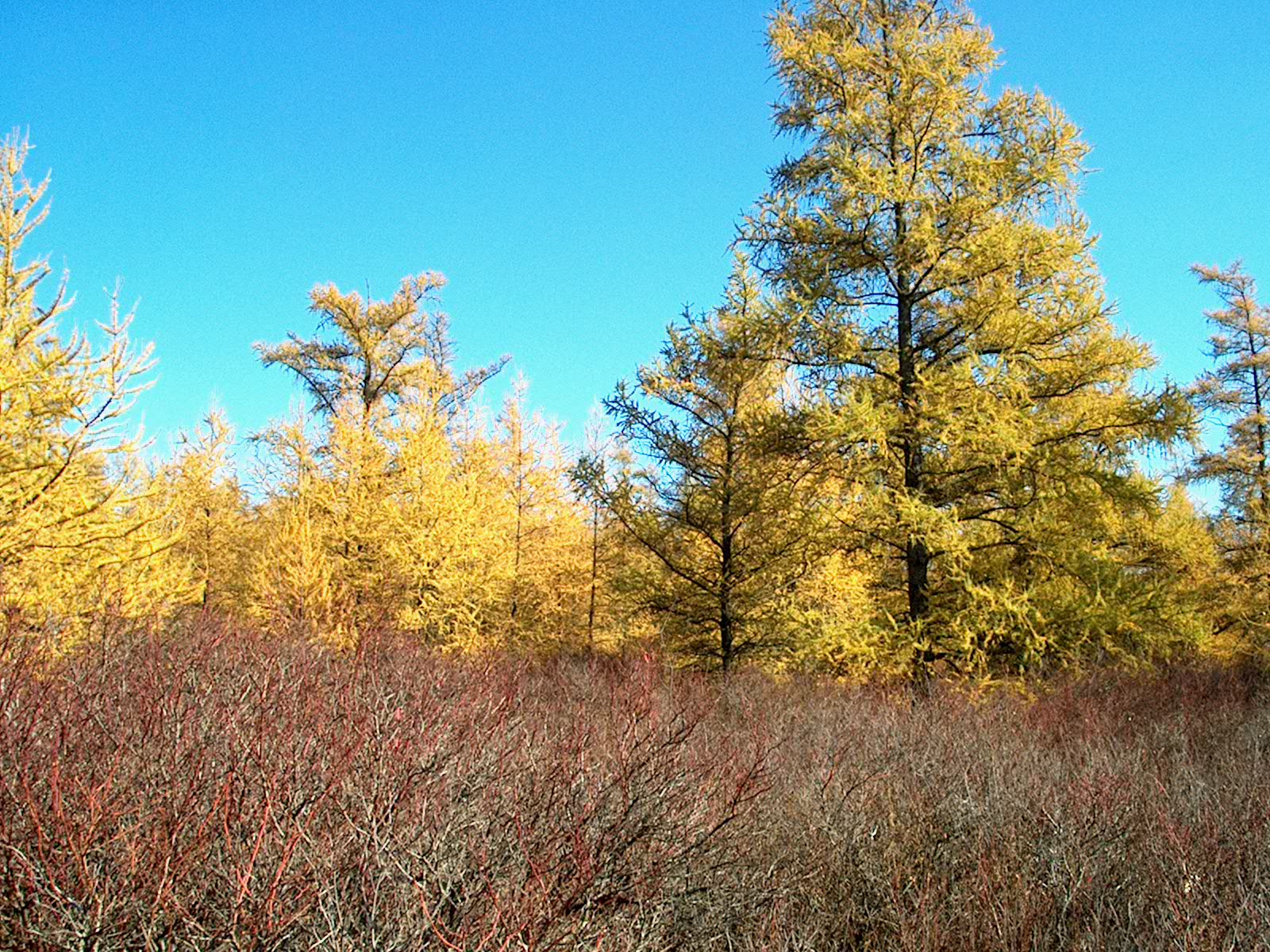
A Pleistocene refugium (remnant of the last Ice Age),
this boreal forest shows the tamarack (a deciduous conifer)
in fall colors (photo 9) and fallen needles on a recycled boardwalk
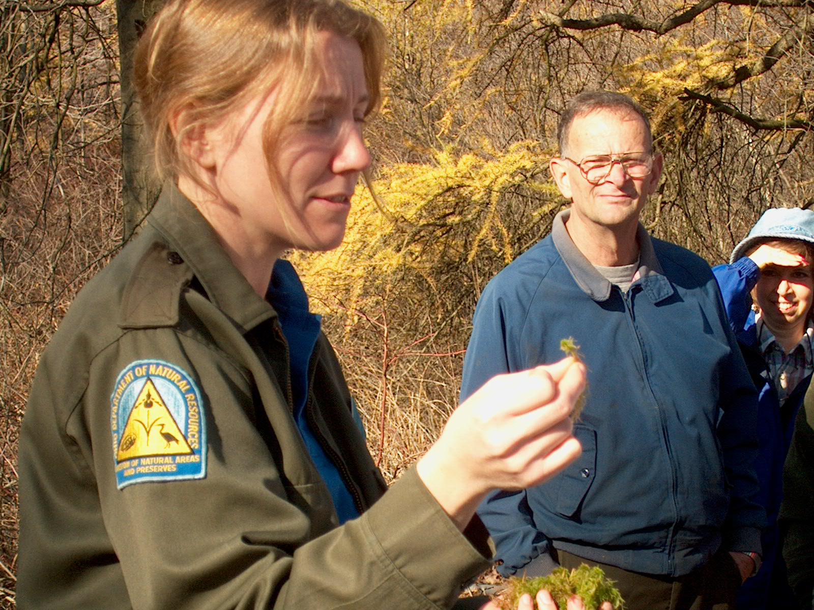
(photo 10). Ohio Department of Natural Resources (ODNR)
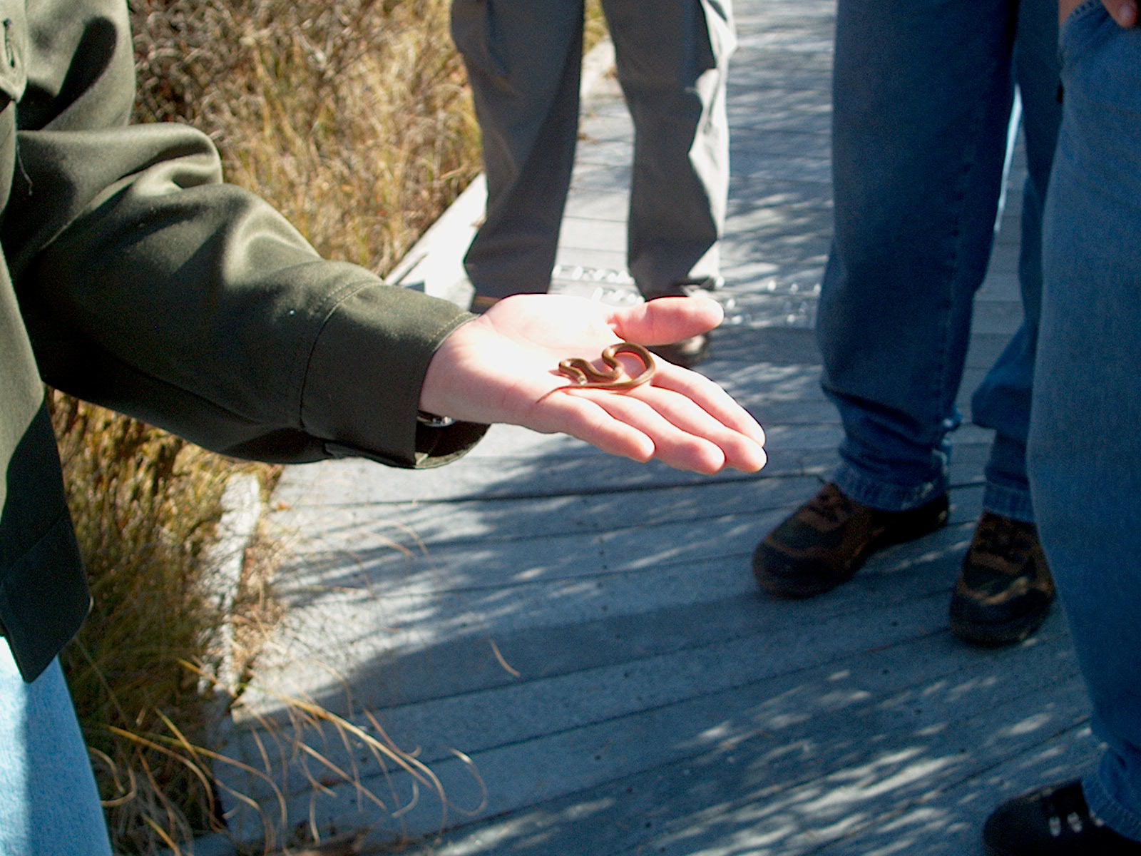
ranger shows sphagnum moss (photo 11) and a live snake (photo
12).
9
10
11
12
13
14
15
16
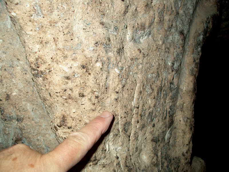
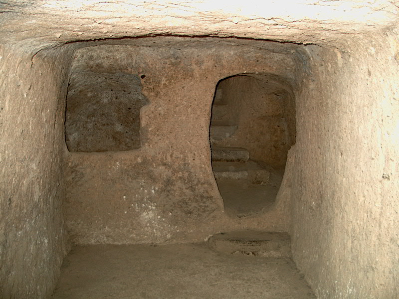
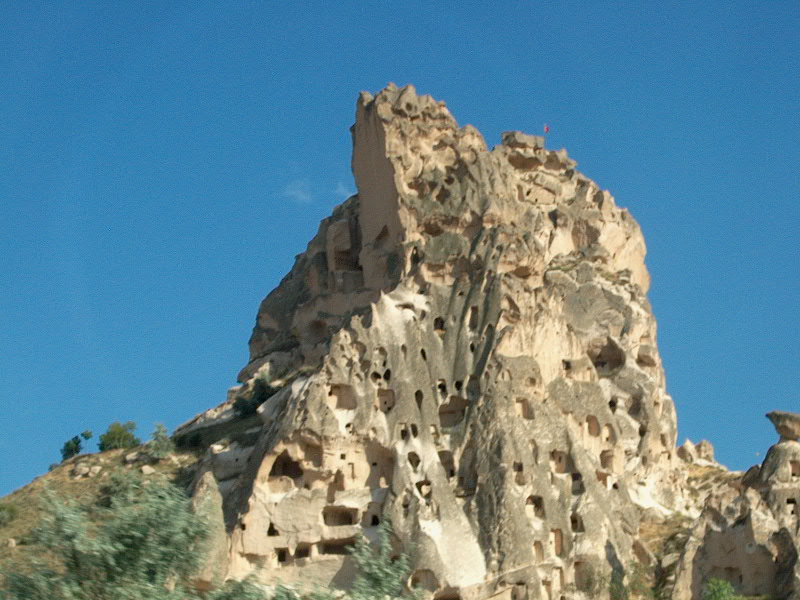
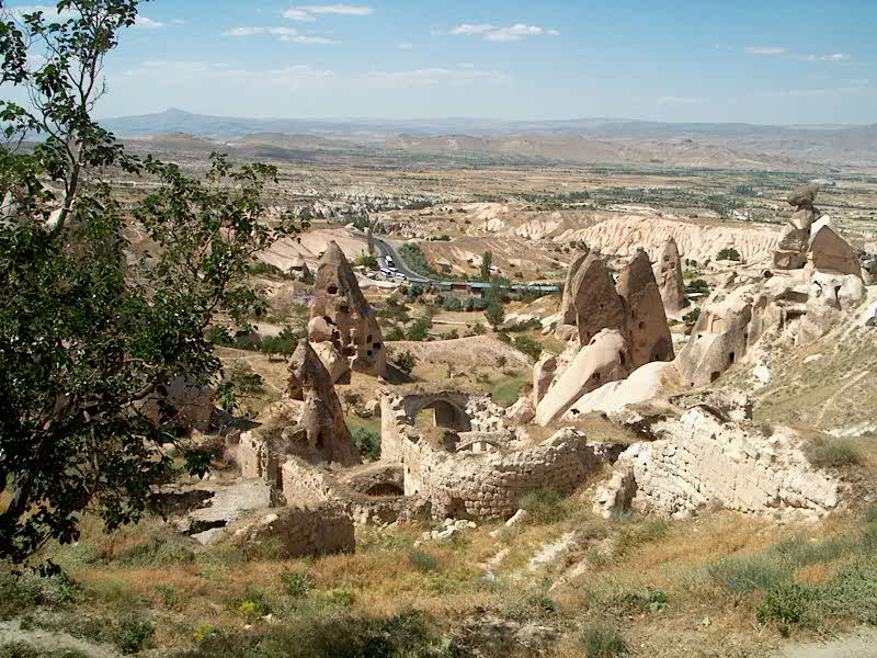
Capadoccia, Turkey (above)
In central Turkey, a
Christian civilization was driven into hiding in the 7th and 8th
centuries A.D. Carved into the volcanic tuff (photo 13) were
underground cities and apartment dwellings (photos 14 and 15) and
chapels in buttes, called "fairy towers." The buttes were
resistant to erosion by being capped by basalt (darker rock seen
in photo 16). The tuff was eroded into a badlands topography
(photo 16) exhibiting gully erosion where the basalt cap was absent.